White Buddha & Vents Ridge Hike Near Bragg Creek (Kananaskis Guide)
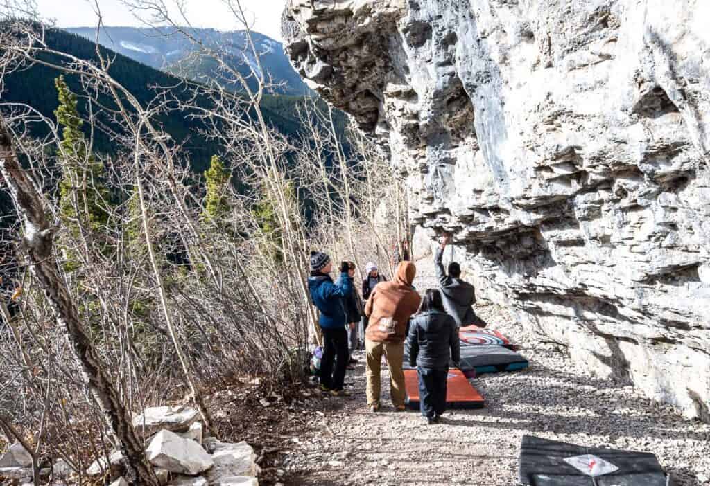
The White Buddha and Vents Ridge loop hike is ideal for those of you who want a short climb and a steep descent with a great view of the Elbow Valley, not far from Bragg Creek. You can knock it off in a few hours, even after work on a summer evening. It’s an interesting one too – as you’ll probably see climbers bouldering on White Buddha – or on the crag on the descent.
If you’re a regular on the Prairie Mountain hike, then I think you’d love this hike – simply as a way to change things up, get a different view – and a decent workout (though there isn’t as much elevation gain as Prairie) in just a couple of hours. It’s one of the fun Bragg Creek area hikes to do.
This post includes some affiliate links. If you make a qualifying purchase through one of these links, I will receive a small percentage of the sale at no extra cost to you. I very much appreciate your support.
Why Hike White Buddha and Vents Ridge
- Best alternative to Prairie Mountain
- Big views for low effort
- Unique rock climbing crag
- Short after-work hike
- Less crowded than Prairie
White Buddha Vents Ridge hike summary
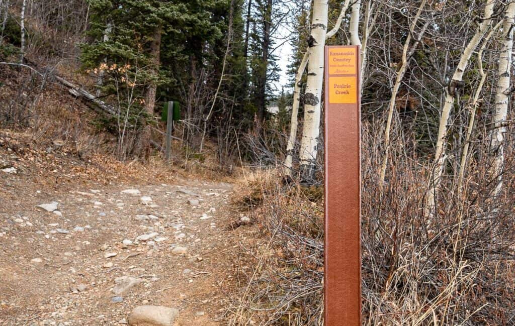
- Distance: ~6 km as a loop hike starting at the Powderface Creek trailhead and finishing at the Prairie Creek trailhead on Highway 66 near Elbow Falls
- Elevation gain: 360 m/ 1181 feet
- Time needed: 2 – 3 hours
- Difficulty: Moderate – because of the steep descent off Vents Ridge. Younger kids could get to White Buddha or the top of Vents Ridge, but I wouldn’t recommend the steep hike down.
- Dogs: Permitted on a leash.
- Good to know: The White Buddha trail is sometimes referred to as the Corri Robb trail.
- Wildlife: Pack quick to access bear spray
- Permits: A Kananaskis Conservation Pass.
- Pack: The hiking essentials and practice Leave No Trace principles
- Hiking gear: Hiking poles and microspikes are helpful in the shoulder season when you might run into snow or ice.
White Buddha Vents Ridge Trailhead location
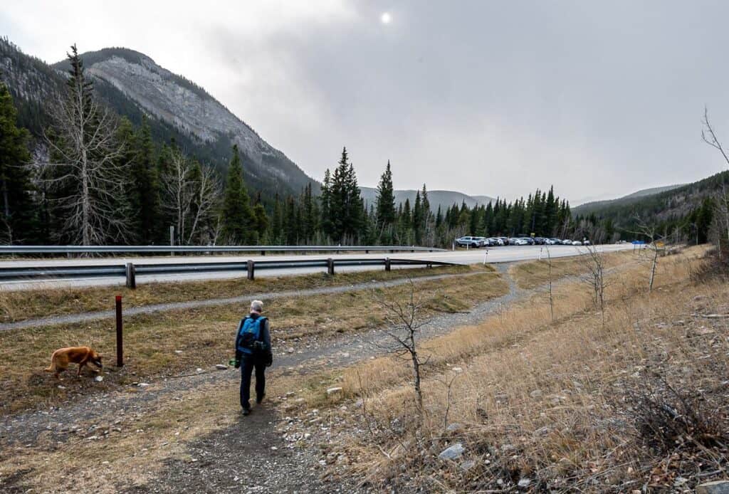
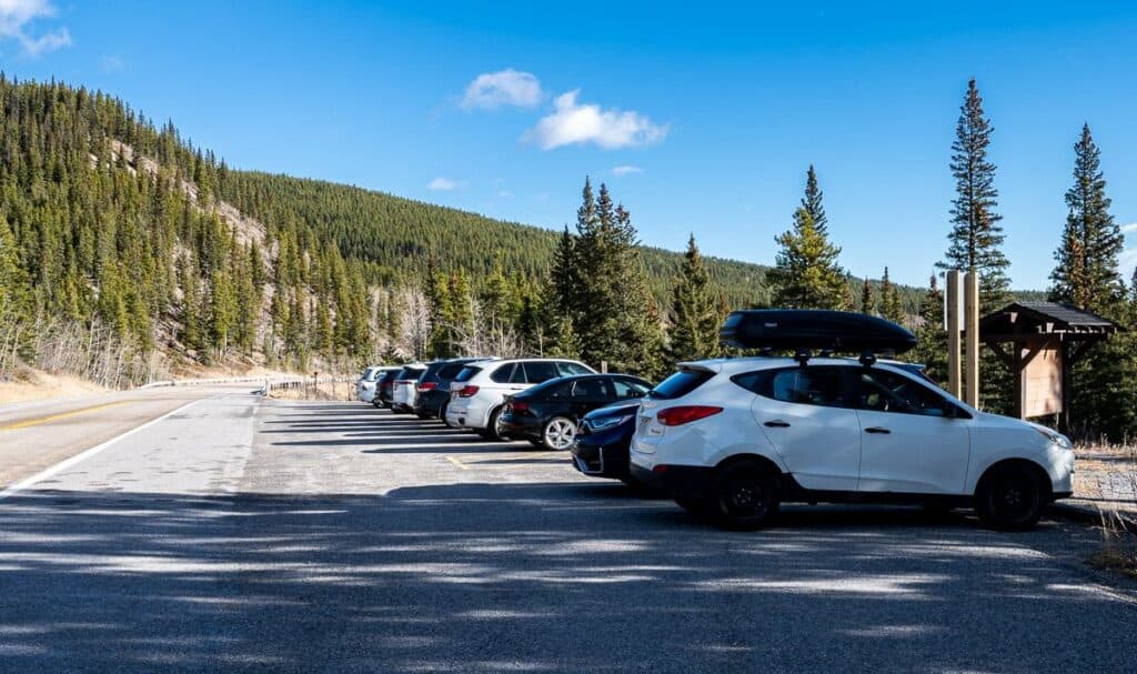
Take Highway 66 to Elbow Falls. You can park in the Elbow Falls parking lot, along Highway 66 as pictured below – about 300 m past the Elbow Falls turnoff, or in the Powderface Creek trail parking lot. Arrive early on a good weather weekend.
Very rough map of the White Buddha Vents Ridge loop hike
Best time to hike
The best time to do the White Buddha Vents Ridge hike is from mid-spring until November. I know people do an out and back hike to White Buddha in winter because the upper section is in the sun, but I wouldn’t recommend doing Vents Ridge in the winter. The steep descent on a narrow trail isn’t safe when covered with snow and ice.
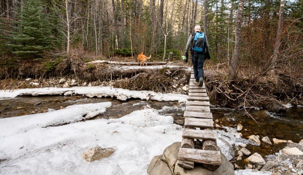
At the bottom of the steep descent you’ll cross Prairie Creek, and in spring the flow can be quite high. The bridge is narrow, and some hikers may find it a bit uncomfortable.
Who will enjoy the hike
If you’re a Prairie Mountain regular – and would like to change it up on occasion, the White Buddha Vents Ridge hike is a great option. You’ll get a great workout with only a half day commitment. It’s cool to see the cliffs (and the rock climbers) that make up White Buddha – and the views from Vents Ridge are superb.
White Buddha – Vents Ridge hike description
My description takes you in a clockwise direction – so count on a very steep descent to the Prairie Creek Trail. If you’d prefer to hike up to Vents Ridge and down from White Buddha, simply follow the directions in reverse.
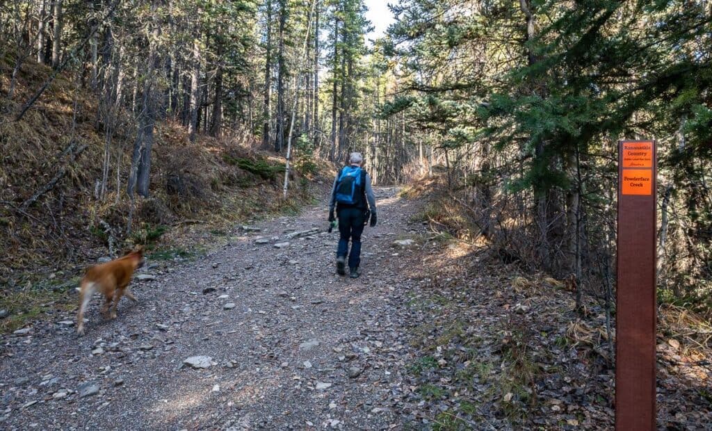
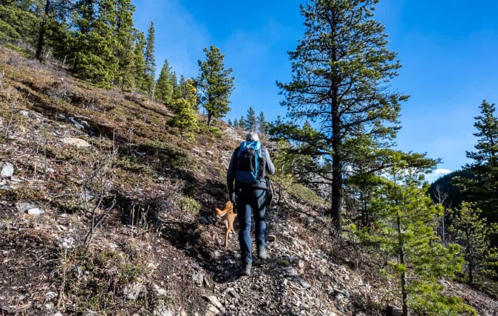
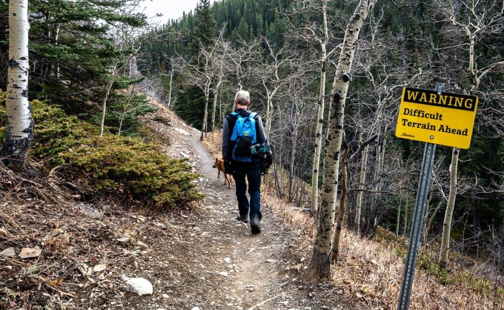
We started at the Powderface Creek trailhead. The trail is largely in the forest with little in the way of views for the first 1.1 km. If you’re doing the hike in shoulder season, I’d recommend microspikes as it can be very icy in the shady sections.
About 100 m after you cross the bridge, a kilometre into the hike, look for a narrow trail on your right heading steeply up. See the picture showing the sharp turn below. Also note how icy the Powderface Creek trail is in early November.
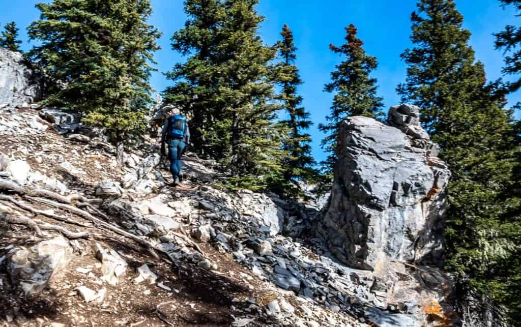
Gain about 200 m on the 700- metre-long trail to reach White Buddha once you’ve left the Powderface Creek trail.
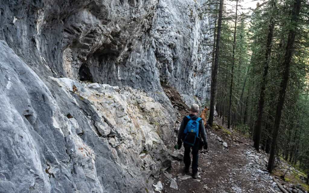
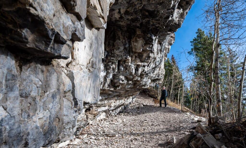
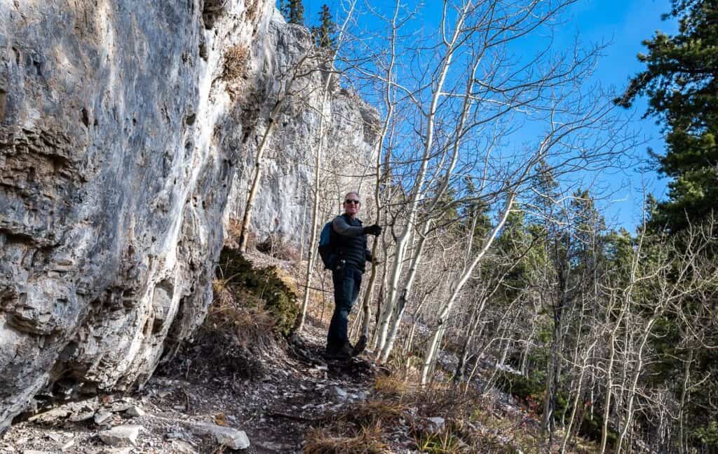
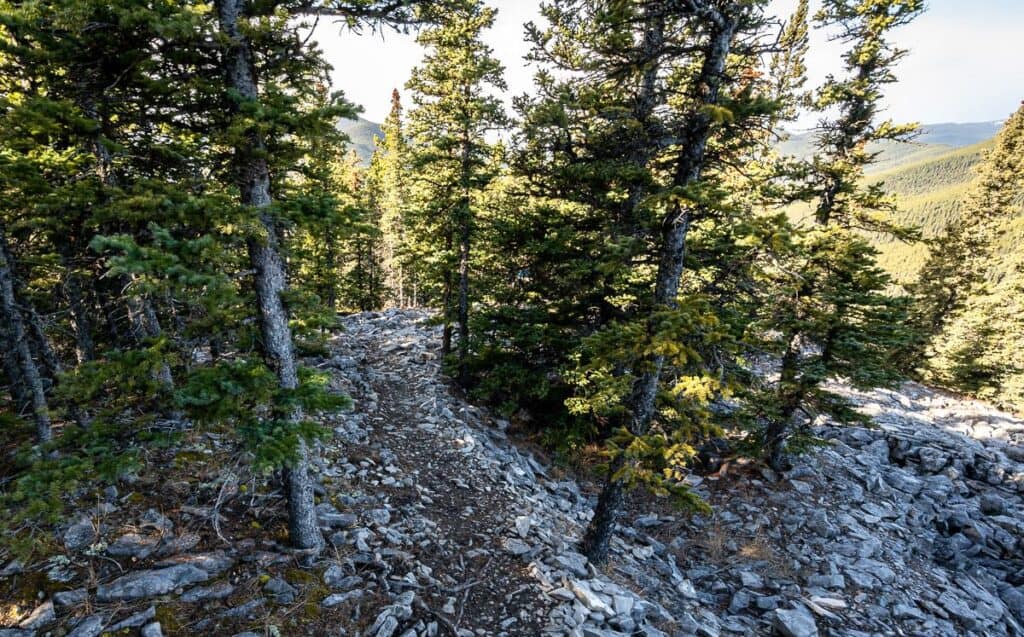
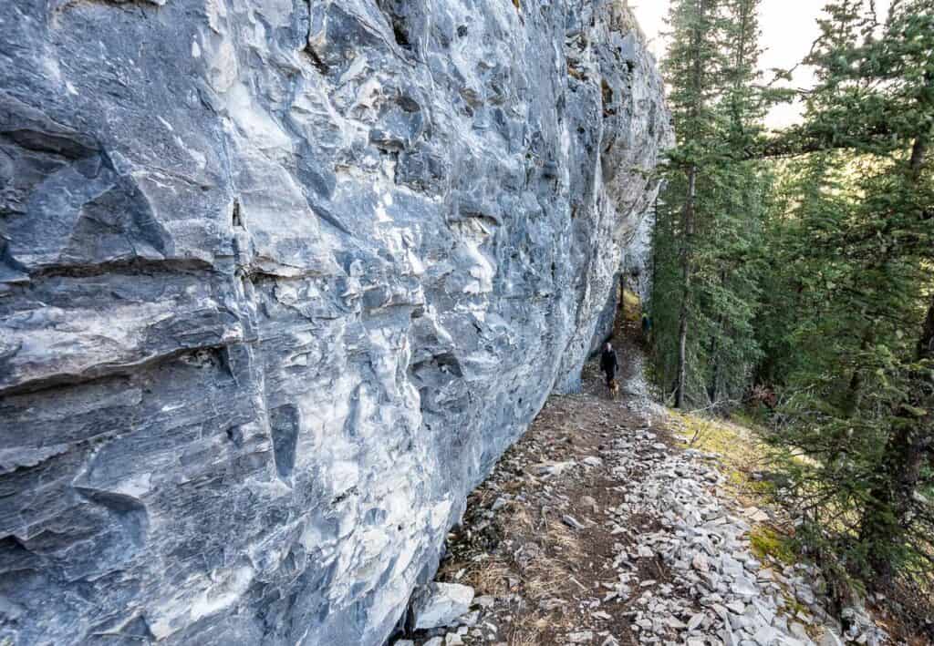
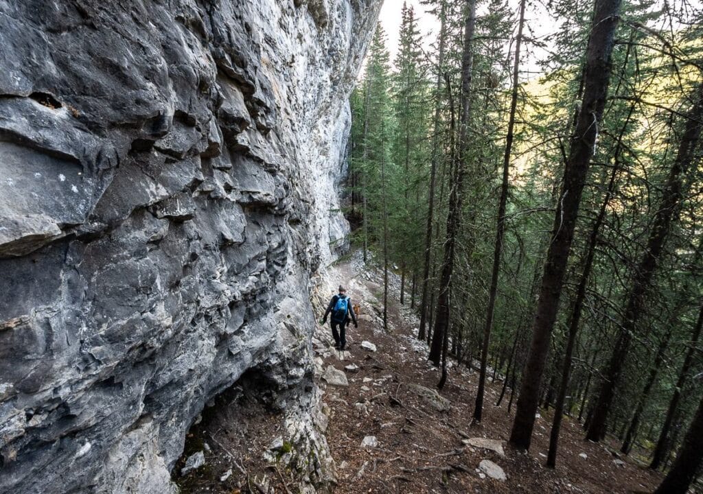
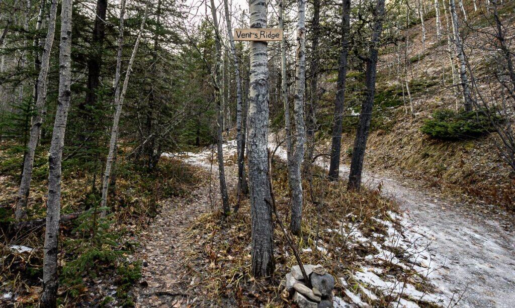
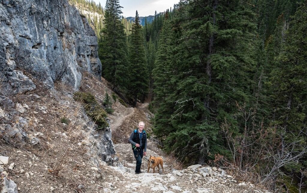
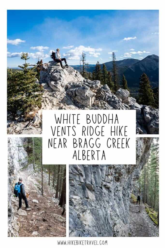
There is a good trail alongside the White Buddha cliffs. Don’t linger where rockfall could be an issue. At the far end of the cliffs there’s one last scrambly steeper section to get to Vents Ridge – and then the views unfold.
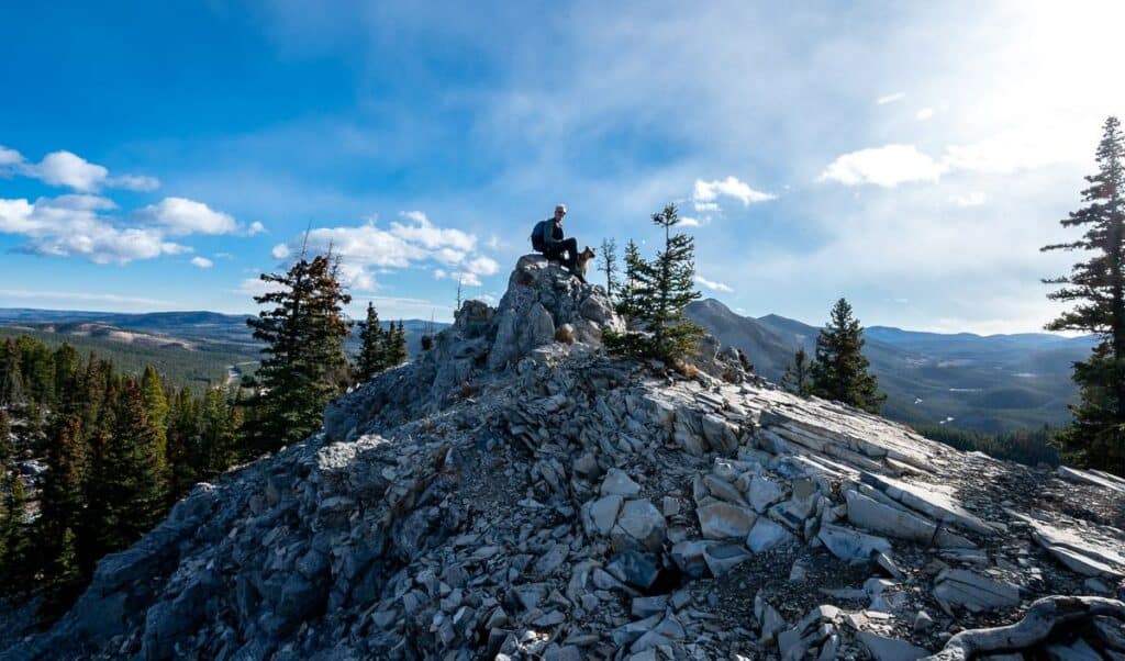
The descent from Vents Ridge
From the top of Vents Ridge, you can simply retrace your steps back to the car for a 5 km return hike. If you’re a family with younger children, that would be the smart thing to do.
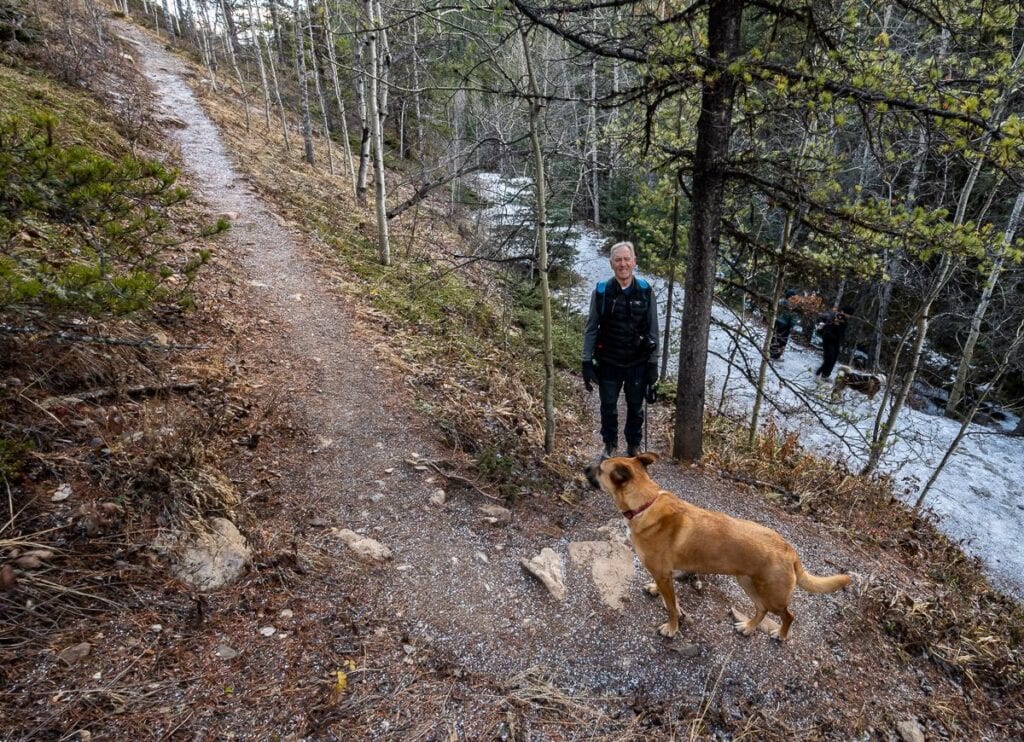
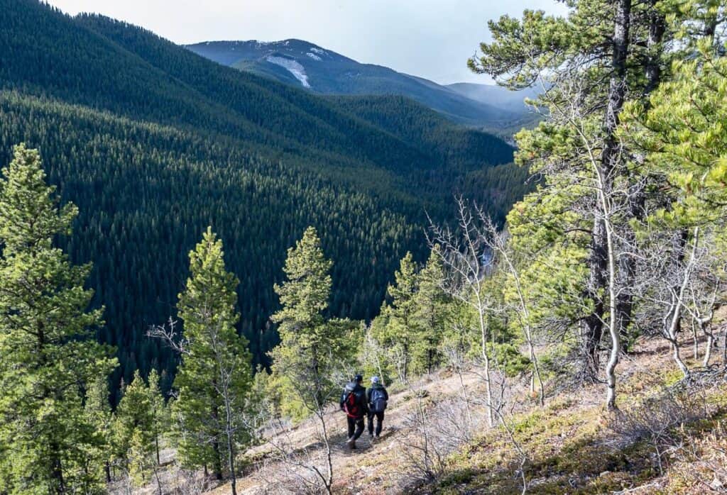
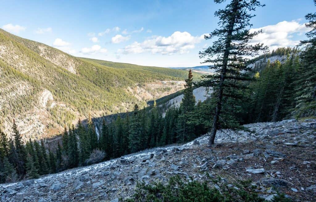
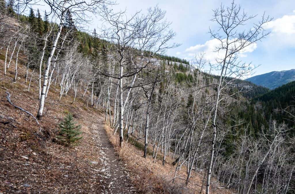
Otherwise, head off into the woods on a good trail. It’s about 1.3 km down to meet up with the Prairie Creek trail. Most of it is very steep – but also beautiful with all the white-grey rock and fun to hike. The crag is surprisingly long. There were several occasions where John and I thought we were at the end of it, only to see it continue.
Wait till the snow goes to do it, unless you’re a very experienced hiker with the right equipment like poles and microspikes.
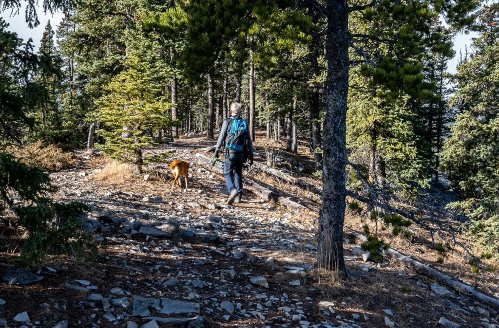
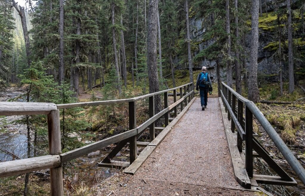
Once you reach the Prairie Creek trail, you’re home free. It’s just 2 km to Highway 66 from here on a good wide trail. Most of it is downhill – but nothing too steep.
Safety Warning on the White Buddha Vents Ridge hike
- Beware of loose rocks coming off the White Buddha rockface
- The steep descent from Vents Ridge may be too much for some, especially in icy conditions
- Beware of high water conditions on the Prairie Creek crossing (even with the bridge) in spring.
White Buddha Vents Ridge FAQ
White Buddha is a short, steep family friendly hiking trail and not a climb. But it does take you up to a climbing crag.
It’s a very steep descent so I wouldn’t recommend it to all but the most experienced hikers with the right gear.
Yes. You could go up to the top of Vents Ridge via White Buddha and retrace your steps to the parking lot.
If there is any cell service it would be spotty and unreliable. Don’t count on it.
The trail isn’t very busy – especially the descent from Vents Ridge. You’ll find more rock climbers than hikers.
Yes. The Corri Robb trail is the short steep rocky section that takes you to the White Buddha cliff bands.
More Kananaskis Hikes
- Jumpingpound Summit Trail in Kananaskis Country – A steady forested climb near Highway 68 that rewards hikers with expansive ridge-top views stretching toward the front ranges of the Canadian Rockies.
- Hiking in Kananaskis: The Wasootch Ridge Trail – A challenging ridge hike offering continuous views, and a sense of remoteness despite its easy access.
- Ribbon Falls Hike in Kananaskis Country – A scenic long but easy hike through forest and along a river to one of Kananaskis’ most impressive waterfalls.
- Memorial Lakes Hike in Kananaskis – The is a challenging trail that climbs through forest to three beautiful alpine lakes set beneath dramatic mountain scenery, the site of three plane crashes in one day.
Click on the photo to bookmark to your Pinterest boards.
The post White Buddha & Vents Ridge Hike Near Bragg Creek (Kananaskis Guide) appeared first on Hike Bike Travel.